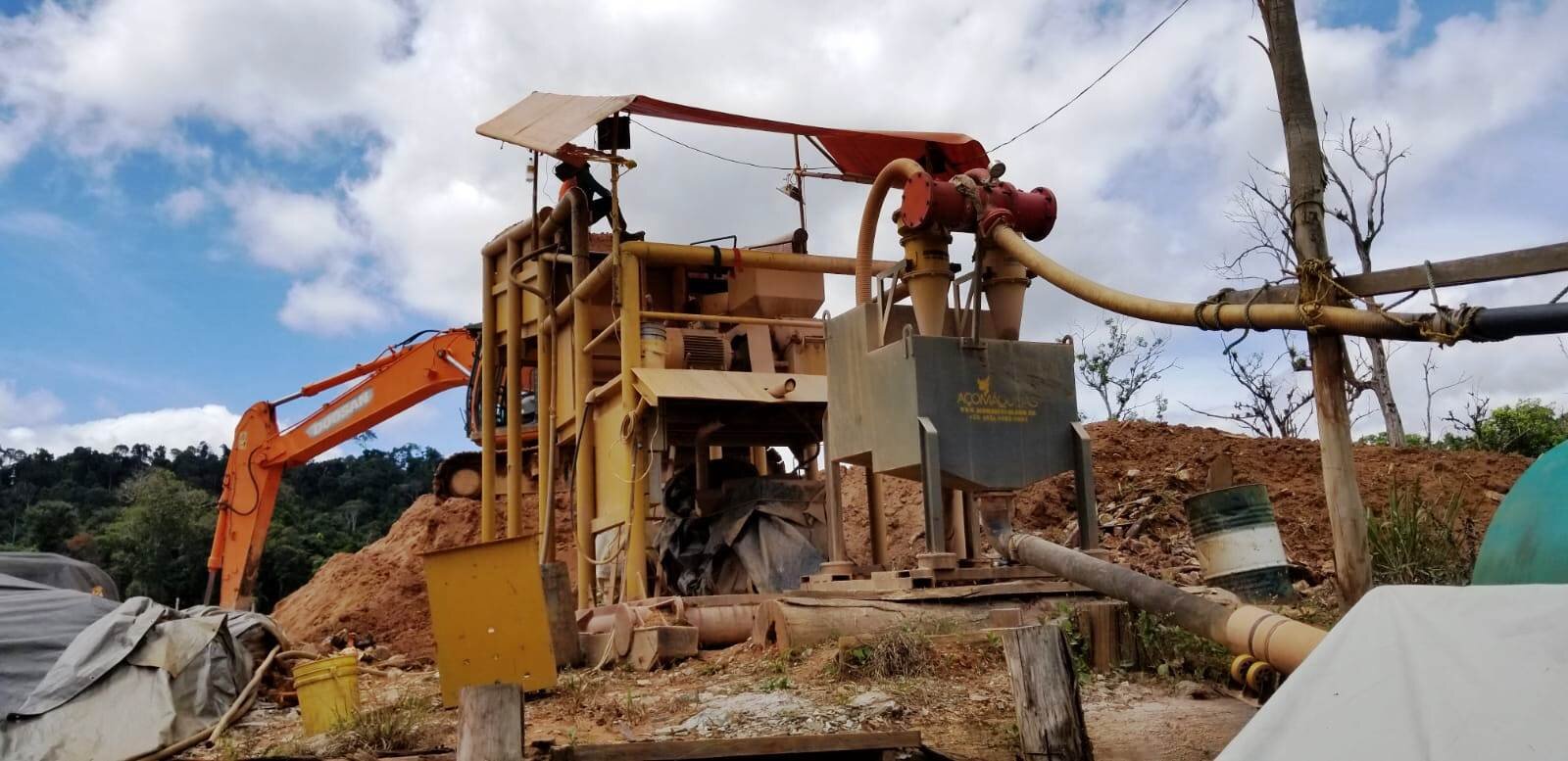
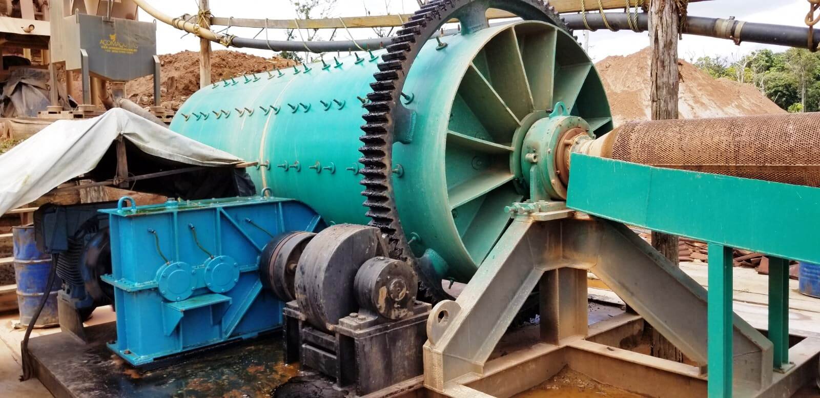
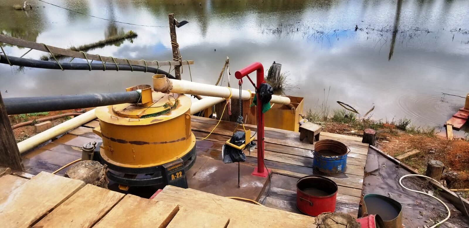
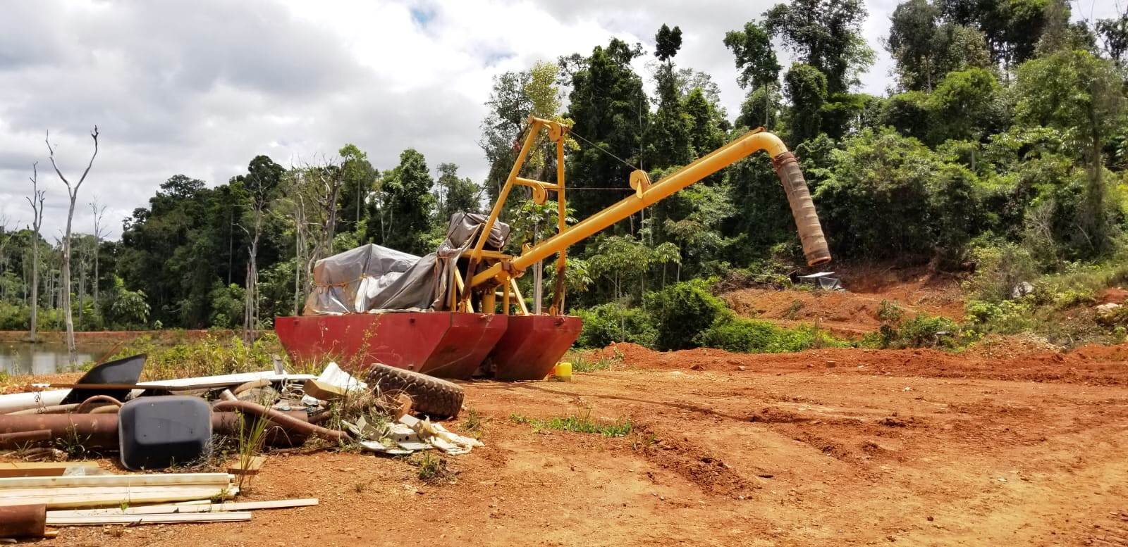
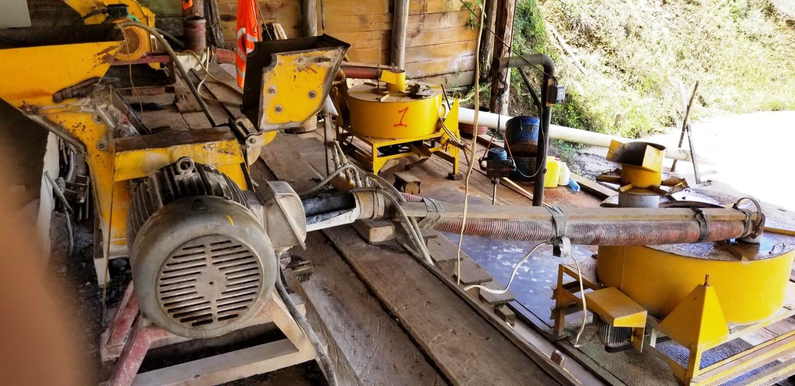
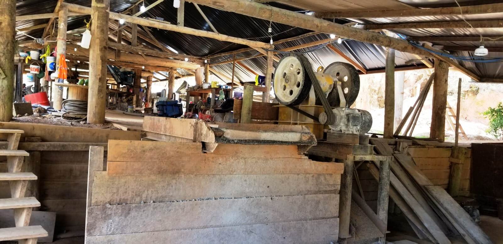
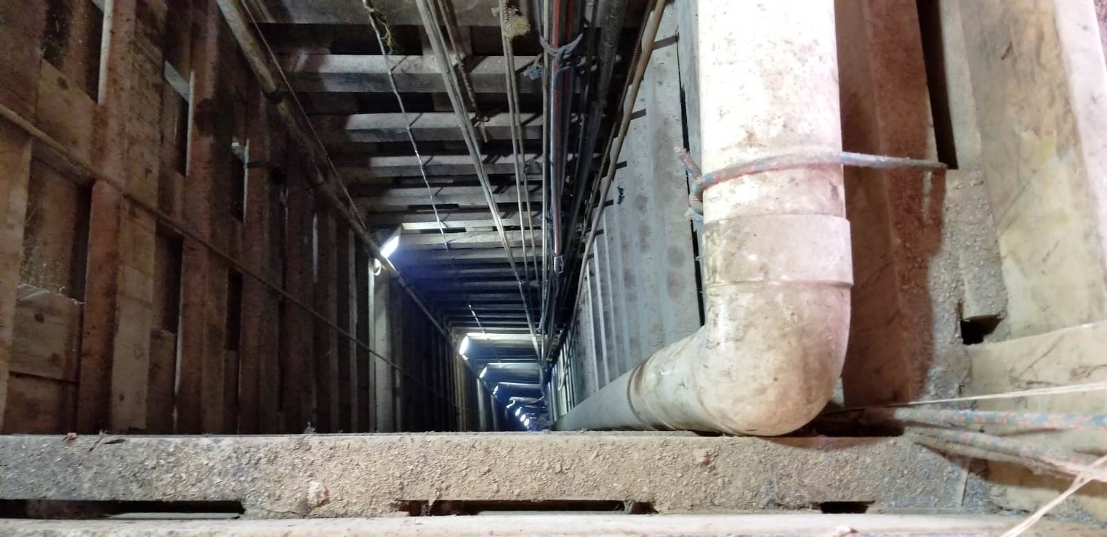
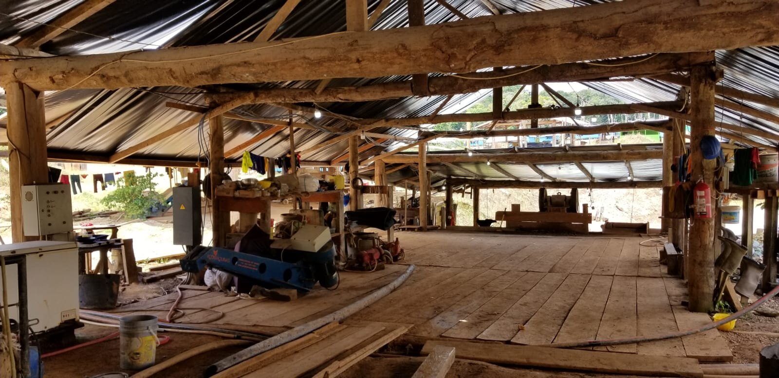
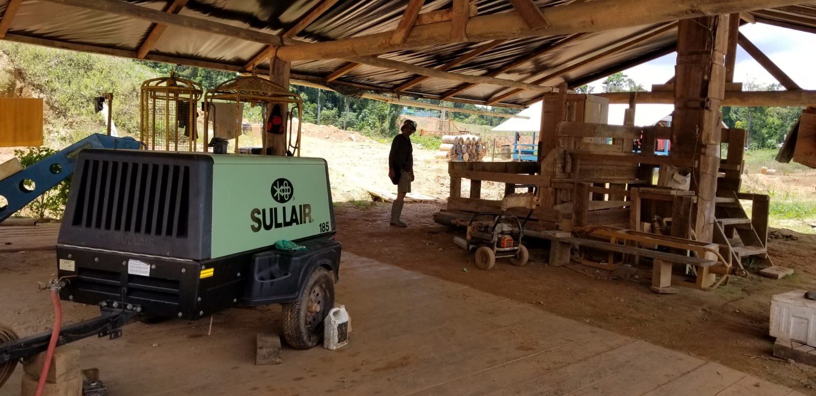
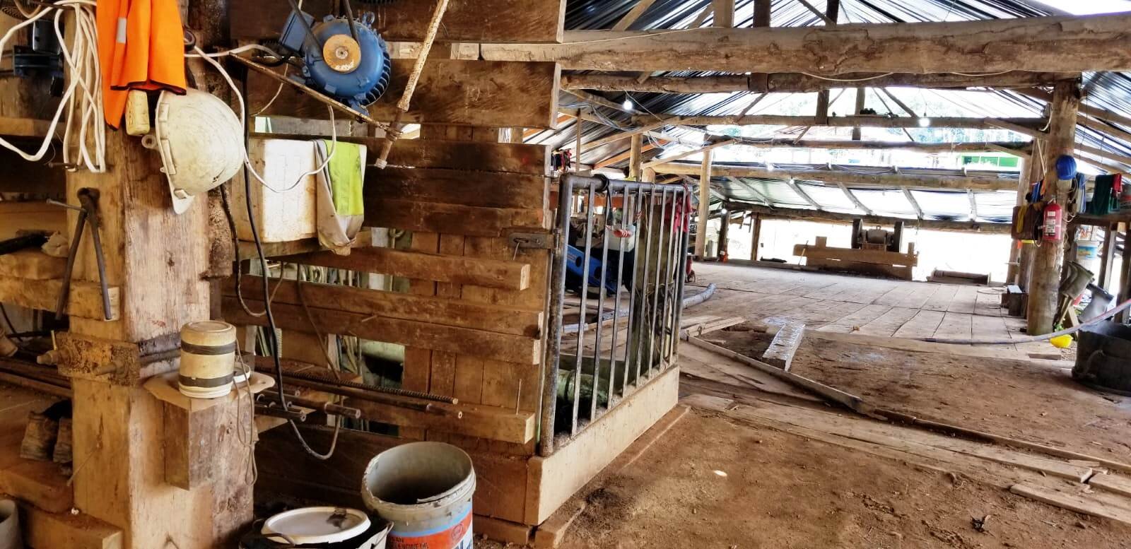
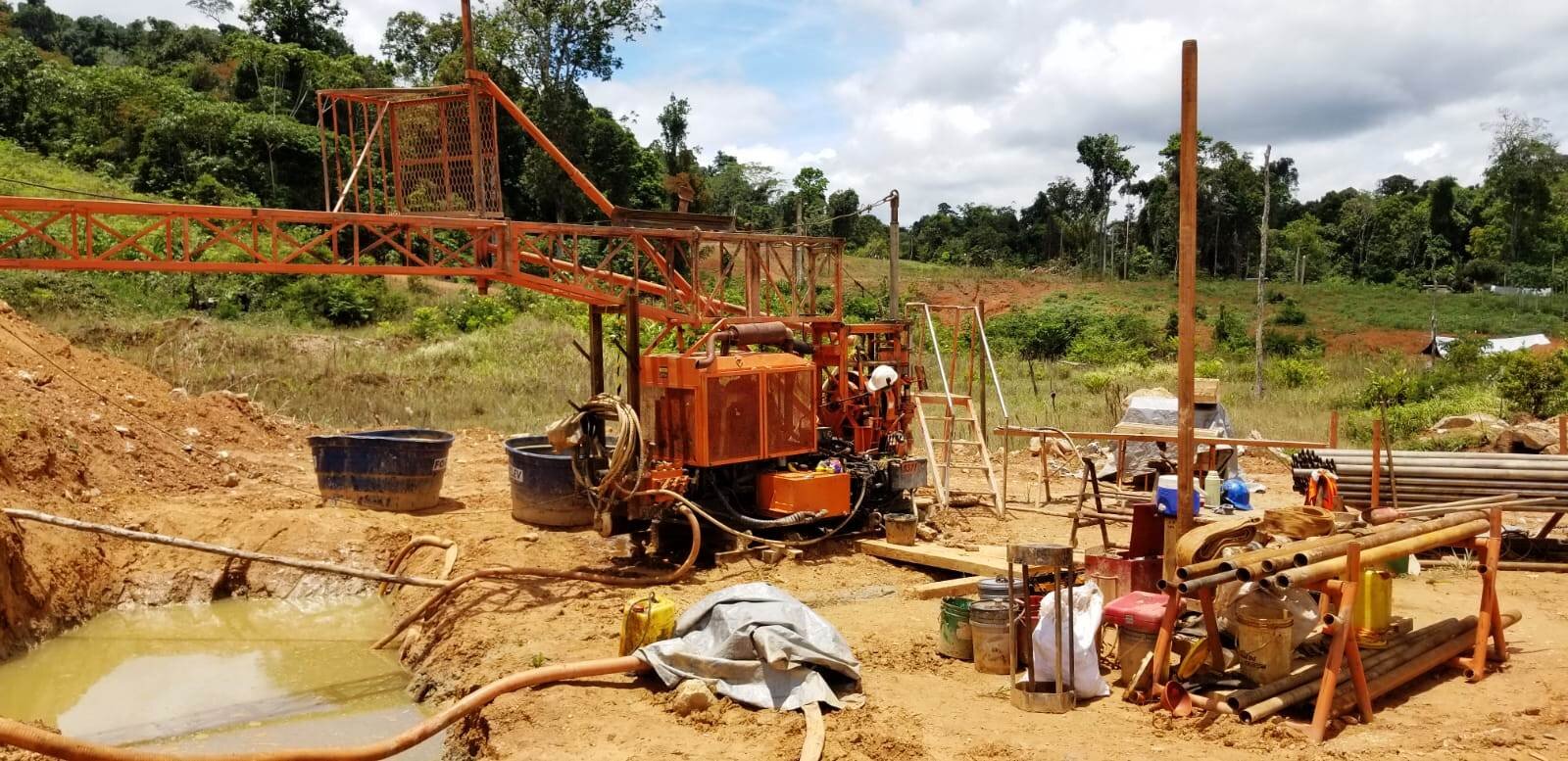
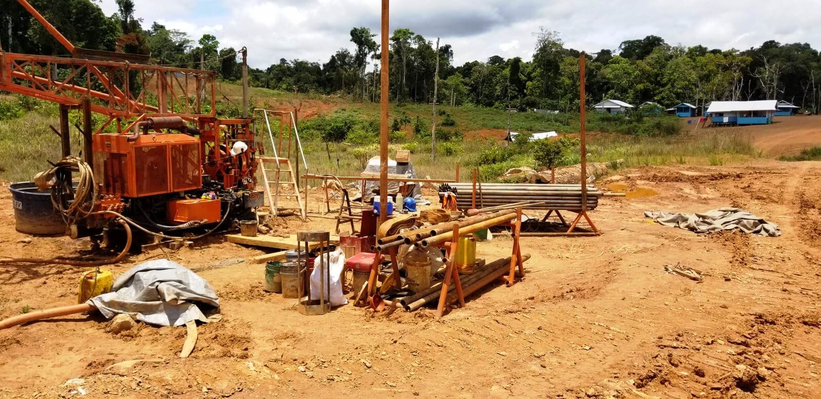
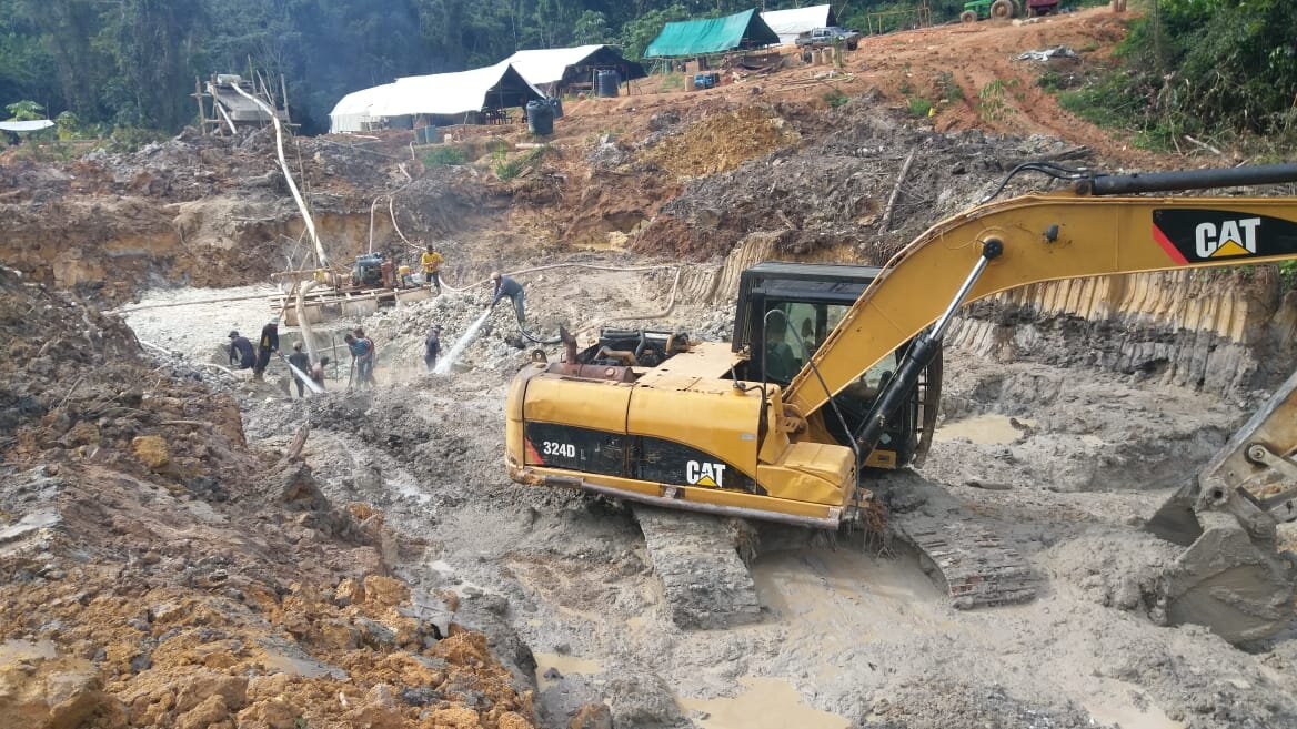
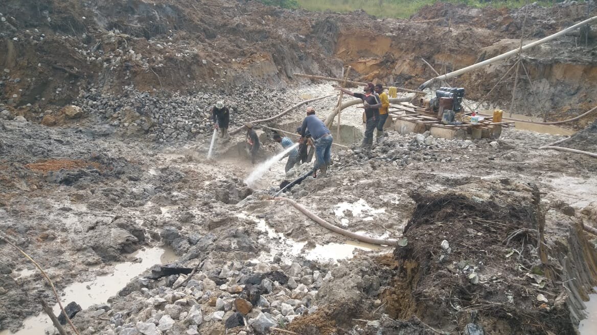
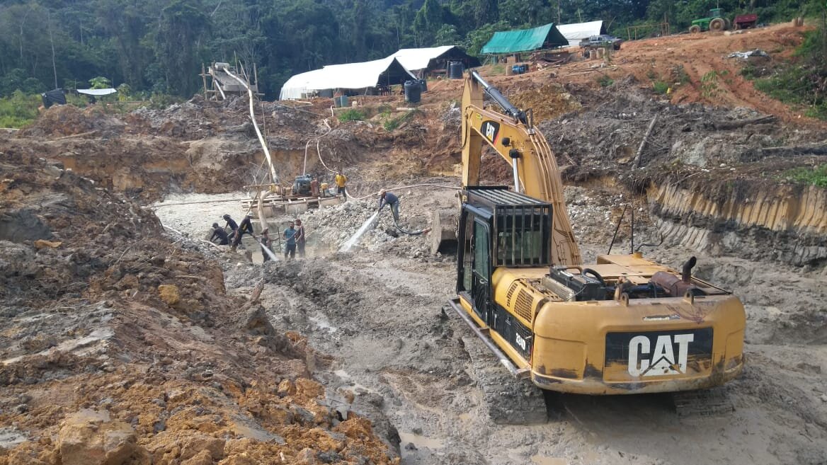
Our Infrastructure

Medium Scale Permits around the OKO Property. Data is valid as of February, 2011
The Oko Property is located in the Cuyuni-Mazaruni Administrative Region No. 7 about 90 kilometers west-southwest of Georgetown, the capital of Guyana (Figure 2, 3). A two lane paved highway leads 50 kilometers from Georgetown to Parika, where a 70 kilometer boat ride leads up the Essequibo River and then the Cuyuni River to the town of Itaballi. The Kartabu-Puruni road is then travelled east approximately 18 km to a spur road which is taken north to the Itaballi-Oko road then northwest approximately 13 kms to the Property boundary. Travel time from Itaballi to the Oko Property takes approximately 2.5 hours
Limited food and water is available in Itaballi, and more extensive goods and services, nontechnical and some technical labor is available in Bartica, a town of approximately 10,000 at the mouth of the Cuyuni and Mazaruni River which forms the Essequibo River. Elevations on the Oko Property range between 25 and 228 m above sea level. The terrain varies from alluvial flats to relatively narrow valleys leading to moderately steep small hills.
To the north of Oko, alluvial flats give way to low lying hills with progressively higher topography. Natural vegetation consists of small to large tropical shrubs and trees. Organic soil cover ranges up to 0.3 m in thickness and saprolite extends to depths exceeding 80 m.
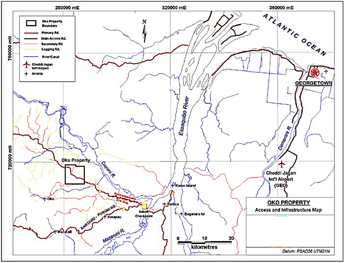
Location and Access Map, OKO Property. The Primary access road to the Property is passable only by ATV, but an alternative route exists off the Kartabu-Puruni road indicated by the Yellow Dots.